About
Who we are
Yonzon Realty and Surveying is a Luzon-based company that specializes in land surveying and real estate transactions. Originally established in 2010 as Yonzon Realty, the company provided comprehensive services, including civil engineering and construction, brokerage, land titling, project selling, and land surveying.
- Licensed Geodetic Engineer
- Complete Survey Team
- Prompt and Professional
In 2016, the company rebranded as Yonzon Realty and Surveying to focus on surveying services and real estate brokerage, offering reliable professional standards and responsible customer service. The company has a good reputation for providing conscientious and reliable service to private landowners, individuals, contractors, local governmental agencies, and private industries throughout Central Luzon.
Our Values
Vision and Mission

Our Vision
To become a leading provider of land surveying and realty services, known for our commitment to accuracy, quality, and customer service.

Our Mission
To provide accurate and reliable land surveying services to our clients, utilizing the latest technology and best practices in the industry.
Services
Land Surveying Services
Lot Plan with Vicinity
Preparation of a detailed survey plan that shows the exact boundaries and dimensions of a specific land parcel, along with its surrounding features such as roads, buildings, and landmarks.
Relocation Survey
We offer relocation services to assist individuals or businesses with moving their properties to a new location. Our team utilizes advanced surveying techniques to ensure that the relocation process is accurate, efficient, and meets all legal requirements.
Topographic Survey
A topographic survey provides precise land measurements and a comprehensive picture of the layout of an existing site, which can be used to make decisions on the design of drainage systems, the placement of new structures, and the repositioning of existing borders.
Subdivision Plan
Subdivision plan is the action of splitting a massive land area into smaller portions. According to the Subdivision Map Act and the municipal subdivision legislation, this displays monumentation and survey data on a map.
Site Development Plan
Site Development plan depicts a site's general configuration and plan, including building footprints, parking and street layouts, lighting and landscaping concepts, site cross section drawings, and building elevations.
Transfer Title
Transferring the title of a property from one person to another, whether you're transferring all or part of the property.
Aerial Mapping
To survey land for which field surveying is not possible or impractical. Over the past few decades, advances in GPS tracking technology and photographic imaging have allowed this method to flourish.
Construction Survey
To establish the area and alignment of highways, bridges, buildings, pipelines and other construction projects. This includes taking measurements to determine quantities and then recording these measurements.
Road Profiling
Measure the distance from the road surface and an accelerometer to compensate for the effects of vehicle movement.
Parcellary Survey
Identify affected properties within Right-of-Way (ROW) limits declared in the detailed road design plans.
Verification Survey
To identify affected properties within Right-of-Way (ROW) limits declared in the detailed road design plans.
Geodetic Engineering Consultancy
To review land records, survey records and land titles, use right certificates and verify if up-to-date and accurate on site from which they prepare diagrams, maps, and reports to present in clients and government agencies.
Services
Realty Services
Land Titling/Transfer
Land titling or transfer refers to the legal process of transferring ownership of a piece of land from one person or entity to another. The process typically involves the creation and recording of a legal document known as a land title, which establishes the new owner's right to the property.
Real Estate Brokerage
A real estate brokerage is a business that specializes in the buying, selling, and renting of real estate properties. The brokerage employs licensed real estate agents who work under the brokerage's umbrella to represent clients who are buying, selling, or renting real estate properties.
Loans and Processing Assistance
Loans and processing assistance refers to the services provided by financial institutions to help individuals or businesses obtain loans and navigate the loan application and approval process. These services may include loan application assistance, credit analysis, loan processing, loan approval, and loan disbursement.
Projects
Our Recent Projects
National Housing Authority Resettlement Housing Program
This involves acquisition and development of large tracts of raw land to generate service lots or core housing units for families displaced from sites earmarked for government infrastructure projects and those occupying danger areas such as waterways, esteros and railroad tracks.
Project Location: Cabcaben, Mariveles, Bulacan
Total No. of Lots: 1,301
Date of Project September 2017 - January 2020

Axeia Development Corporation
AXEIA offers affordable housing in the Philippines. Find out more today about our affordable homes in Cavite, Batangas, Laguna, Pampanga and Rizal.
Project Location: San Jose, Batangas City
Project Type: Relocation and Topographic Survey
Land Area: 10 Hectares

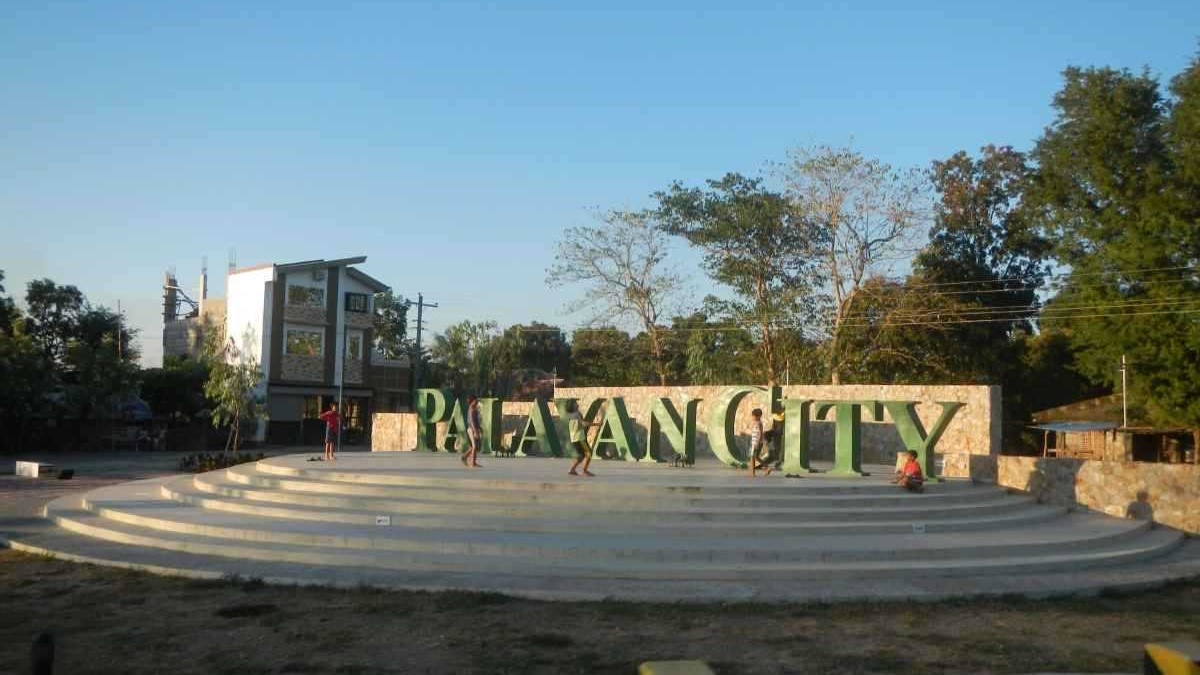
Boy Scouts of the Philippines
The humble beginning of Nueva Ecija Council way back 1947 serves as the inspiration of the organization to strive harder in serving the young boys and girls of the country, specifically the youth of the province. BSP Camp Palayan City was then a vacant mountainous area with no building and other infrastructures. Even trees are very few.
Project Location: Palayan City, Nueva Ecija
Project Type: Relocation and Topographic Survey
Land Area: 26 Hectares
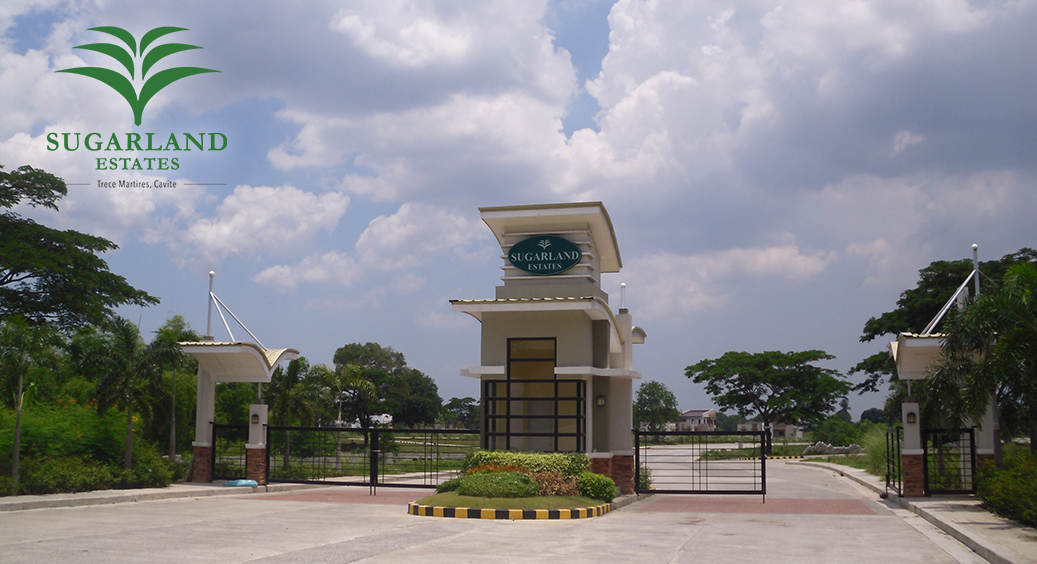
Sugar Land Estate
A sweet life awaits at Sugar Land Estates, a picturesque ECOmmunity surrounded by lush and verdant greens in the heart of Cavite.
Project Location: Trece Martirez, Cavite
Project Type: Relocation and Topographic Survey
Land Area: 72.8 Hectares
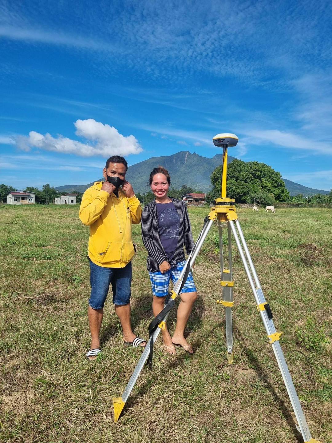
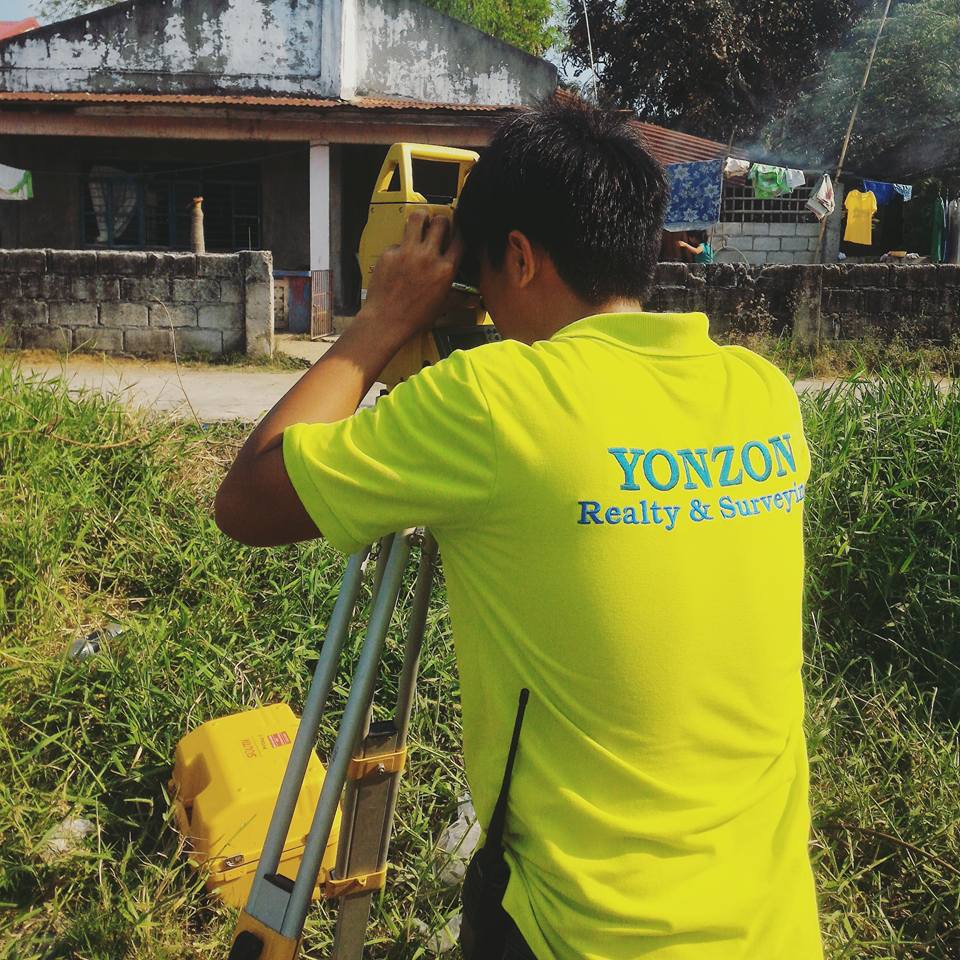
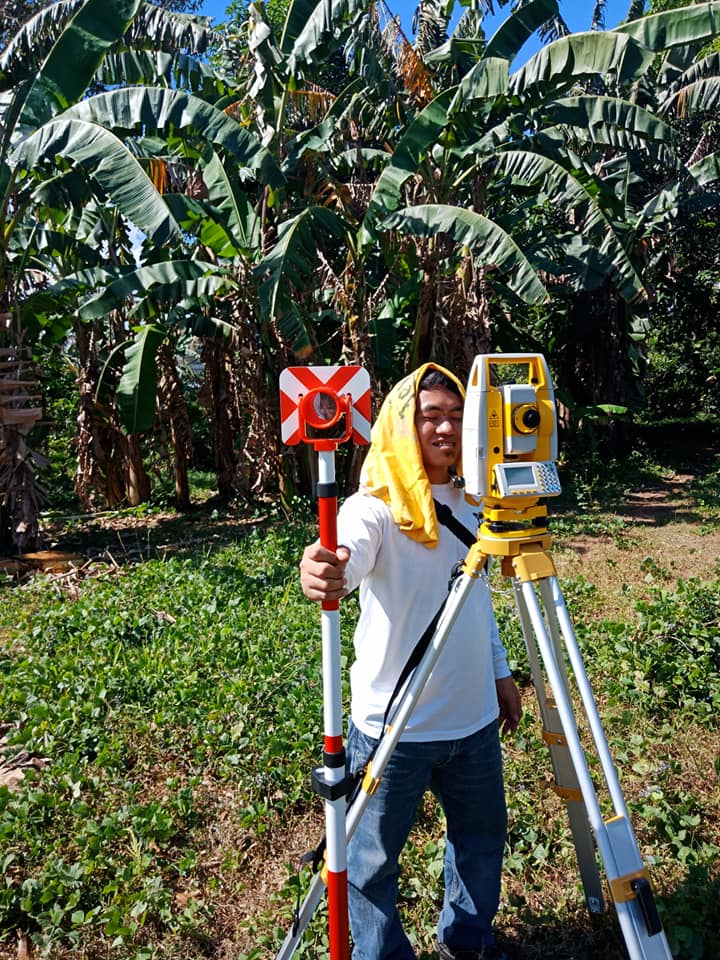
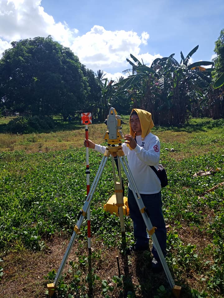
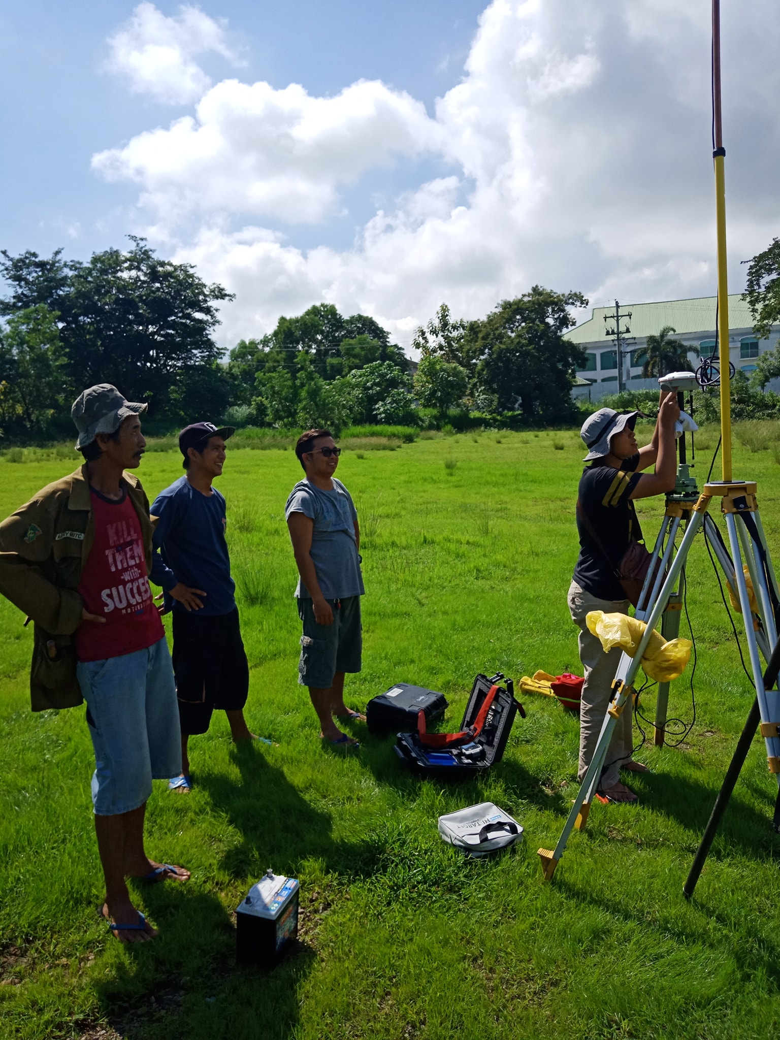
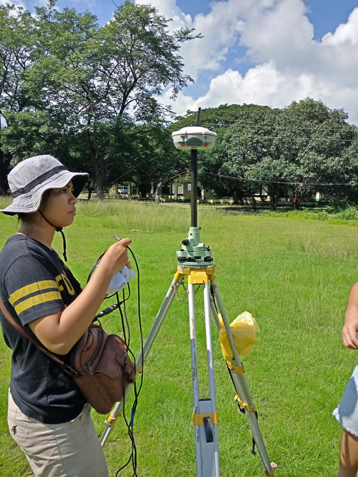
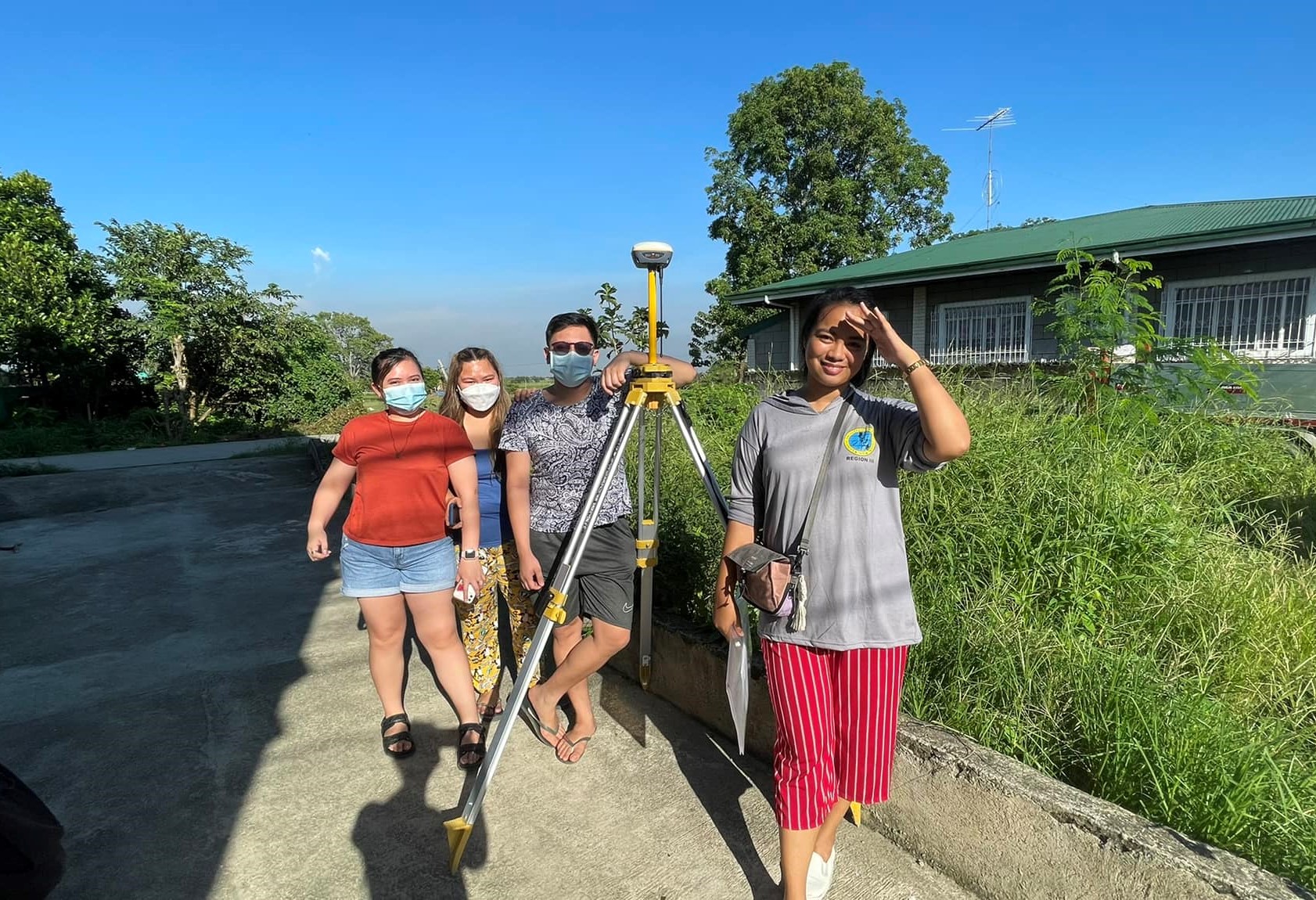
Our Team
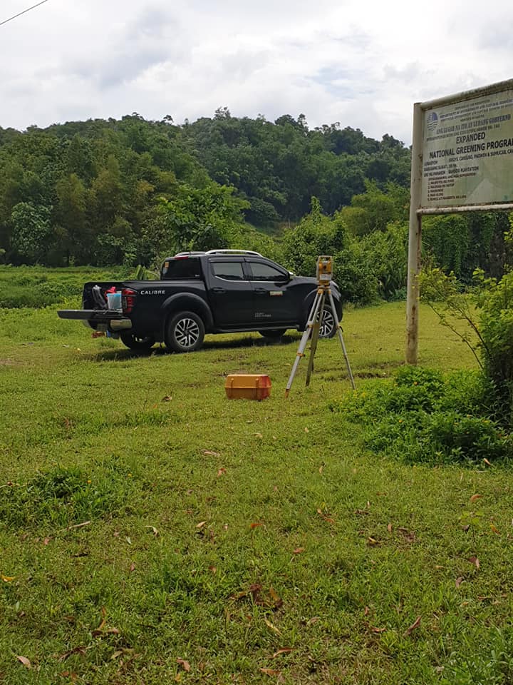
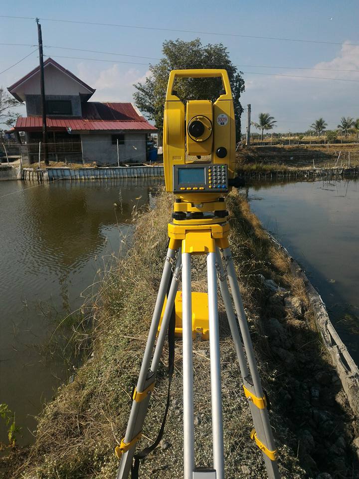
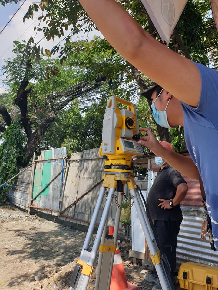
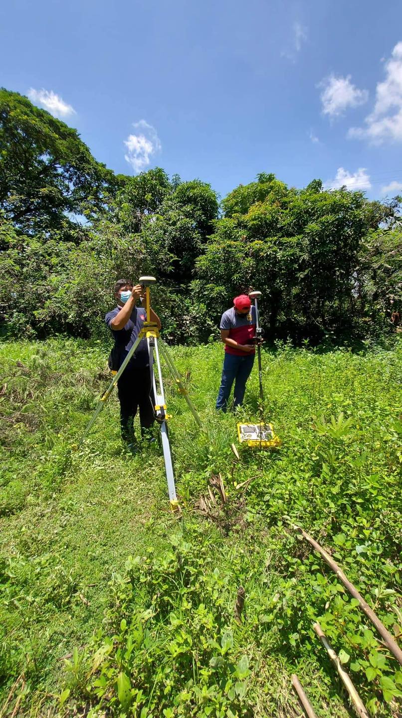
See Our Recent Activities
Clients
These clients trusted our service


Testimonials
What they are saying about us
Affordable and very accommodating! Give this 10 star 💫

Edgardo Salazar
Fast service and easy to talk to.

Carlo Recopuerto
Contact
Contact Us
Our Address
CBLE Building, Purok 1, National Road, Santa Lucia, San Luis, Pampanga
Open Hours
Monday-Sunday
9:00 AM - 5:00 PM